Industry-Rice Earth Science Symposia (IRESS)
November 2013 Featured Event
An Afternoon Discussion of Maps for Students and Professional with Professor Emeritus, Bert Bally

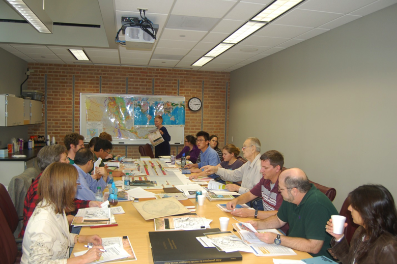
On Friday, November 8th, a group of 17 geoscientists made up of students, industry geologists and faculty, met with Professor Emeritus Bert Bally for afternoon discussions on geological maps and mapping. During a 2-hour review filled with historical facts and contemporary tips, Bert reviewed the first geologic map of North America, two early Geologic Atlas publications (1875 and 1892), two recent geological Atlas works, the geological map of Texas and regional cross sections covering the USA, available through the AAPG.
The group walked through selected examples from Bert's extensive map collection and ended with a discussion of the Commission for the Geological Map of the World (CGMW) and a review of their publications list. The CGMW listing includes maps as diverse as plate tectonics from space, and world gravity, magnetic and stress maps. Bert also pointed the group to a variety of websites and key references, including a recent 3-volume series on "Regional Geology and Tectonics" edited by D.G. Roberts and A.W. Bally; the volumes were published by Elsevier in 2012 and cover Principles of Geologic Analysis; Phanerozoic Rift Systems and Sedimentary Basins; and Phanerozoic Passive Margins, Cratonic Basins and Global Tectonic Maps. Bert briefly touched on the format and intent of the volumes as well as maps, presented by W. R. Muehlberger and P. Wood Dickerson in their chapter on geological methods, which were particularly relevant to the day’s review.
In one of the sections on geological methods Patricia Wood Dickerson starts with a quote from Socrates–"Man must rise above the Earth – to the top of the atmosphere and beyond – For only thus will he fully understand the world in which he lives." Bert certainly touched on all these views of the earth from the early geological maps of Jules Marcou, published in 1875, to modern Landsat images of the Great Smoky Mountains in eastern Tennessee and western North Carolina. Bert has kindly offered to continue this fascinating series of map reviews with upcoming topics being a discussion of Shell’s Stratigraphic Atlas of North America, and recent maps of the Arctic.
Please keep an eye out for these upcoming events. Hope you can join us, and thanks Bert for sharing.


